

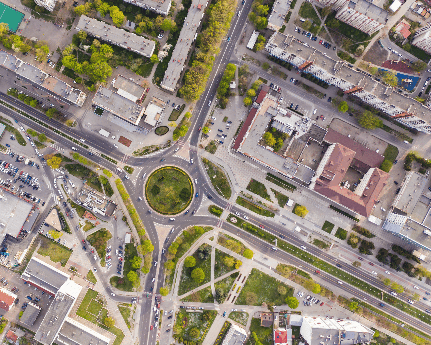
Fly the scene. Drop a survey-grade map on the operation in minutes — from anywhere.
NetixOps AirMap turns the photos your Skydio, DJI, or Autel drone already takes into true-scale orthomosaics, 3D models, and measurable evidence — processed in our secure cloud, shared in one link, and ready for the incident commander before the scene is cleared.
30 days · every module on · no credit card. Or see it in action.
- One-step
- upload from any drone
- Minutes
- from photos to map
- One link
- commander, dispatch, court
Built for the drones you already fly
Skydio-first. NDAA & Blue UAS friendly. Vendor-agnostic.
AirMap accepts geotagged stills from any drone — and goes a step further with native Skydio Cloud sync so flights auto-import the moment your aircraft lands.
Skydio X10
Auto-importSkydio Cloud API + autonomous 3D Scan
Skydio X2D / X2E
Government-grade, NDAA-compliant
Skydio Dock
Remote-launch BVLOS missions
Autel EVO Max 4T
Multi-sensor public safety platform
Parrot ANAFI USA
Blue UAS / DoD approved
DJI Mavic 3 Enterprise
Industry standard for mapping
Wingtra GEN II
Fixed-wing, large-area mapping
Any geotagged JPEG/DNG
Bring your own platform
The gap we close
You fly the scene to capture it. AirMap makes it usable on-scene.
Most photogrammetry software was built for surveyors. We built AirMap for the deputy, firefighter, or emergency manager who needs the map before the incident is over — not after.
The old workflow
Photogrammetry was built for engineers
Traditional tools assume a workstation, a license seat, and a GIS analyst on staff. First responders don’t have any of that on scene.
By the time the map exists, the scene is gone
Overnight processing means the commander never sees the orthomosaic during the operation. Evidence captured, never used.
Files live on someone’s laptop
Sharing a 12 GB project to a partner agency, a DA, or the next shift means thumb drives, FTP, and uncertainty about which version is canonical.
With AirMap
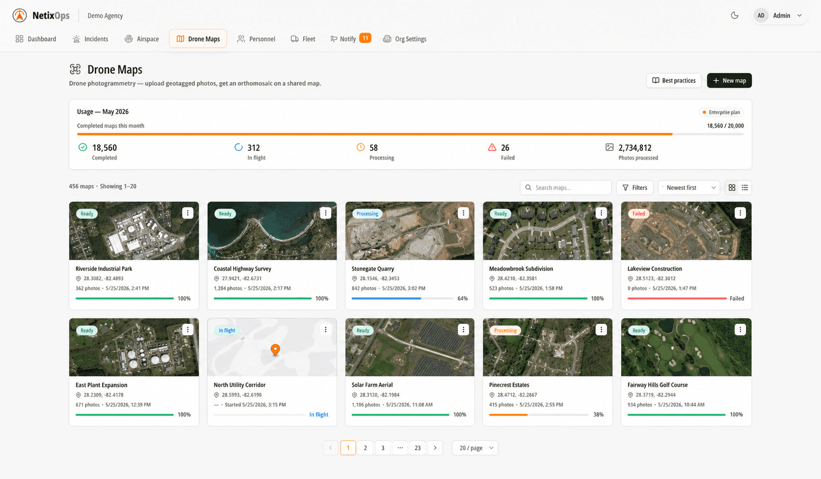
Drag the SD card, get a map
One-step upload. AirMap reads the EXIF, ties the photos to real-world coordinates, and queues processing automatically.
Cloud-processed, in minutes
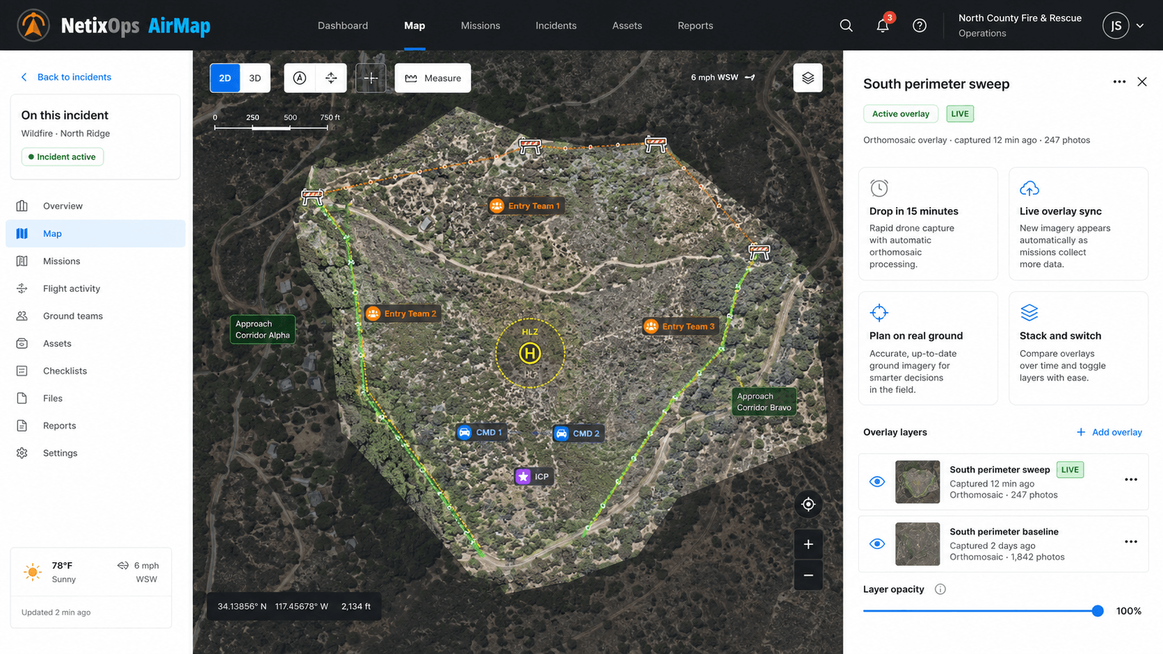
From anywhere with a connection. A scene at 4 cm/px is ready before the perimeter comes down. No workstation, no overnight render.
One link, one canonical map
Share with command staff, dispatch, mutual-aid, the DA, or the public. Permissions revoke instantly when the case closes.
How it works
One step. Minutes. One link.
From the moment your drone lands to the moment the commander opens the map — from the field, command post, or office.
- 01
Capture
Fly a grid, an orbit, or a 3D Scan. Use Skydio autonomous missions or your own checklist on DJI, Autel, or Parrot. AirMap reads EXIF — no calibration files, no flight log gymnastics.
Skydio Cloud auto-import · drag-and-drop for everything else
- 02
Upload & process
Resumable, multi-gigabyte uploads survive flaky LTE. Our cloud pipeline aligns the photos, builds a true-scale orthomosaic, a digital elevation model, and an optional 3D mesh.
Survives flaky LTE · processes elastically in the cloud
- 03
Share & act
The map drops onto the incident in NetixOps automatically. Share a public link with one click — DA, dispatch, mutual-aid, council, public information officer. Revoke any time.
Public share links · PDF export · GeoTIFF / KMZ
Photogrammetry capabilities
Everything a survey crew produces — without the survey crew.
A full photogrammetry pipeline, optimised for the speed and chain-of-custody that public safety actually needs.
True-scale orthomosaic
Every pixel is georeferenced. 1 cm to 5 cm per pixel resolution depending on flight altitude. Print-perfect, zoom-perfect, court-admissible.
Digital surface & elevation model
DSM and DTM grids let you read ground level vs. structures, vegetation, and vehicles. Cross-section any line you draw.
Photorealistic 3D mesh
A textured 3D model of the entire scene. Walk the perimeter from any angle without ever leaving the command post.
Dense point cloud
Millions of XYZ+RGB points. Export to LAS/LAZ for forensic reconstruction, CAD, or import into your existing GIS.
Measure anything
Distance, area, perimeter, slope, height, and volume — all in real-world units. Stockpile volumes, debris fields, gap analysis.
Annotate & pin
Drop labeled markers for evidence, hazards, casualties, or witnesses. Annotations sync back to the incident in NetixOps.
Multi-date change detection
Re-fly a site weekly or after an event. AirMap aligns the two surveys and highlights additions, removals, and elevation changes.
Open exports
GeoTIFF, KMZ, OBJ, LAS/LAZ, PDF. Drop into ArcGIS, QGIS, AutoCAD, or any GIS pipeline you already run — nothing is trapped in a proprietary silo.
Ground control point (GCP) support
When survey-grade accuracy matters, mark GCPs and AirMap will rectify the model against them. RTK/PPK flight logs welcome.
Built for public safety & government
From the call to the courtroom.
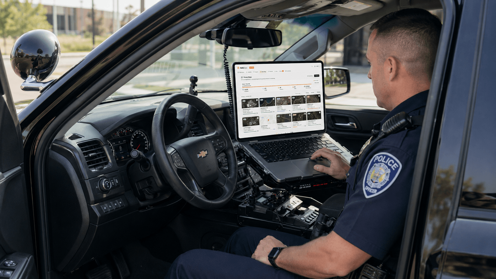
AirMap was designed for the way agencies actually work — open the map from the patrol vehicle, from the command post, or from the DA’s laptop, with the same chain-of-custody underneath.
Eight mission profiles we built for, with the speed and integrations the public sector actually needs.
Traffic crash reconstruction
Reopen the road 80% faster. Capture every skid mark, debris field, and vehicle position to survey accuracy, then reconstruct the scene from any angle for the prosecutor — or the insurer.
Fire-scene damage assessment
Map post-fire damage perimeter, identify hot spots in the DSM, and brief the fire marshal with a measurable record. Volumetric stockpile and ash-bed analysis included.
Search & rescue
Drop a current orthomosaic over the search area, then assign sectors to teams in the field via NetixOps Incidents. Re-fly to detect new tracks or clearings.
Disaster & damage assessment
Post-storm, post-tornado, post-flood. Hand FEMA and state EM the geo-rectified imagery they need for declaration — within hours, not days.
Active threat & pre-plan
Pre-fly campuses, stadiums, courthouses, and critical infrastructure. Brief SWAT, command, and dignitary protection from a current 3D model of the building.
HAZMAT & CBRN scenes
Map the hot zone from a safe stand-off distance. Plume modelling overlays and chemical-plant volumetrics keep responders out of the kill zone.
Courtroom evidence
Every map is hash-signed, chain-of-custody logged, and exportable as a PDF exhibit. Defence-attorney-proof timestamps and ground sampling distances.
Infrastructure & DOT
Roadway, bridge, levee, and stockpile inspections. Track construction progress month-over-month and feed quantities straight to your engineer-of-record.
Already on shift
Built for the missions you fly today.
AirMap is in use by agencies on shifts that don’t wait for overnight processing — crime scenes, crash reconstructions, SAR callouts, and nighttime overwatch.
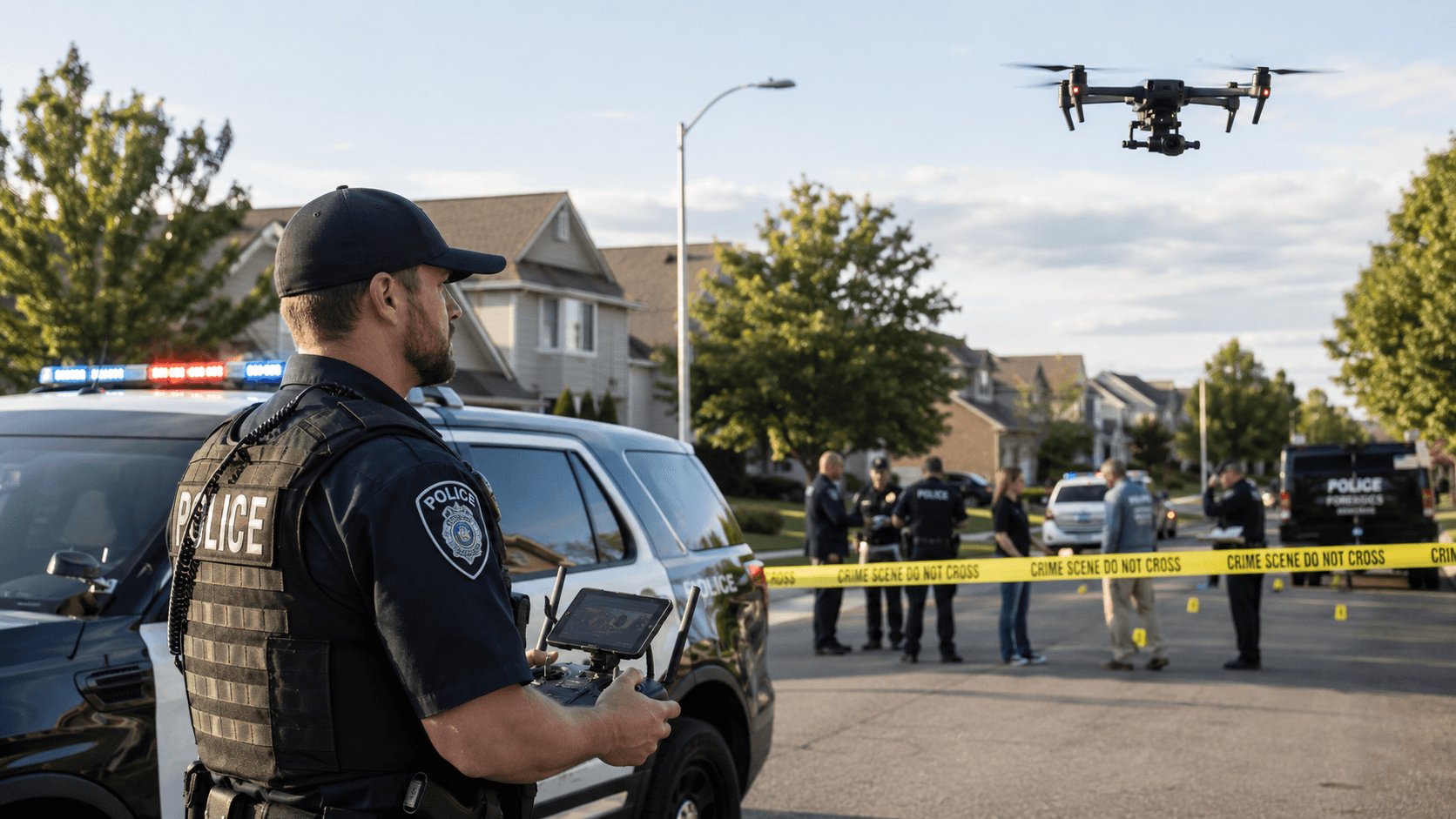
Evidence markers tied to a 4 cm/px ortho
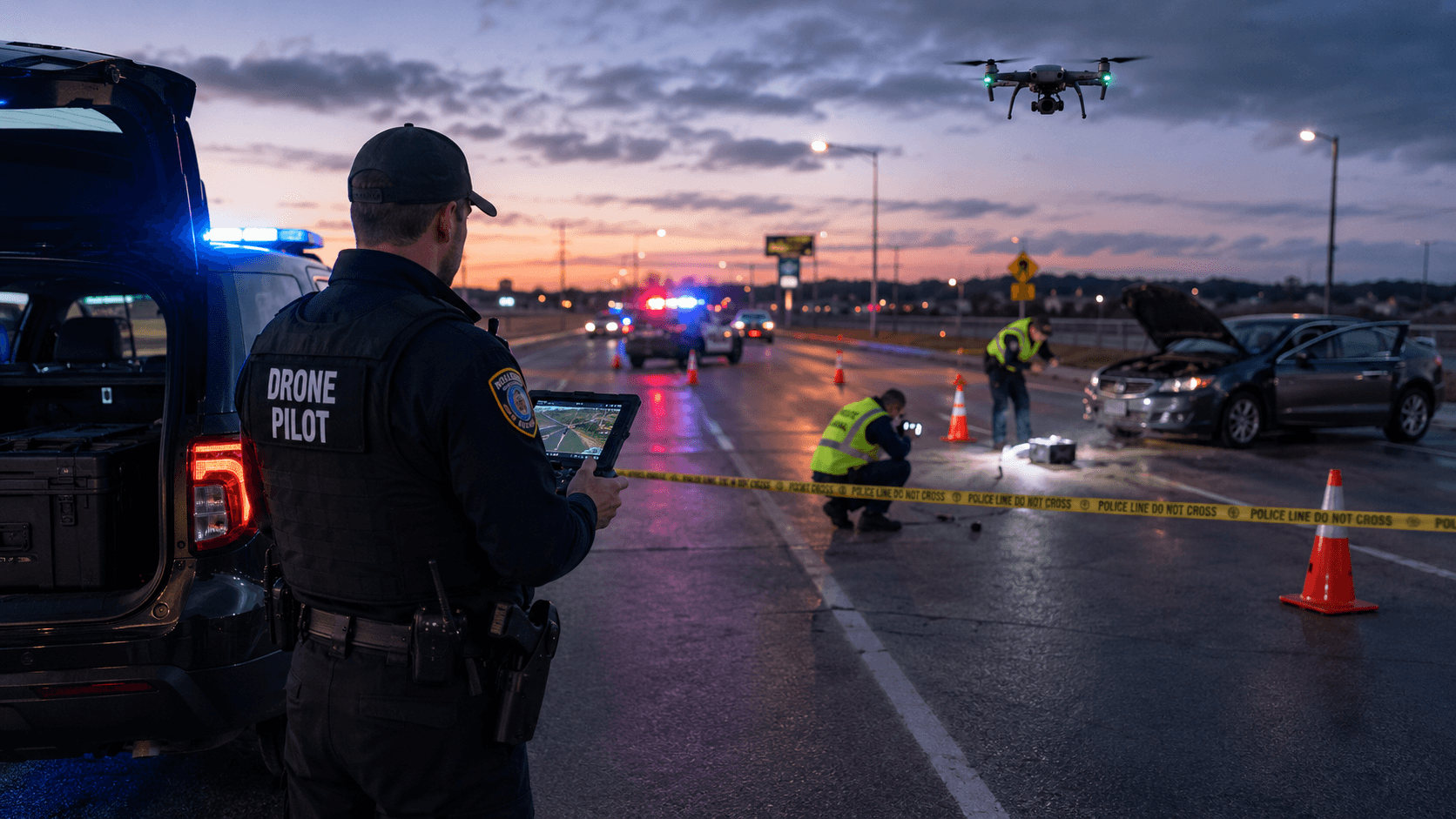
Reopen the road 80% faster
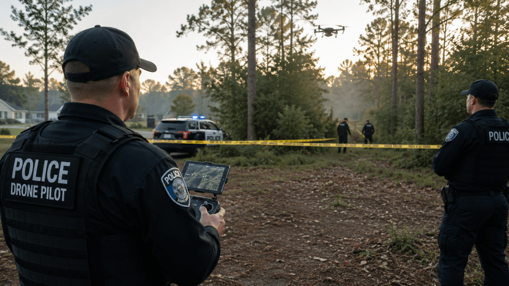
Sectored ortho, assigned to teams
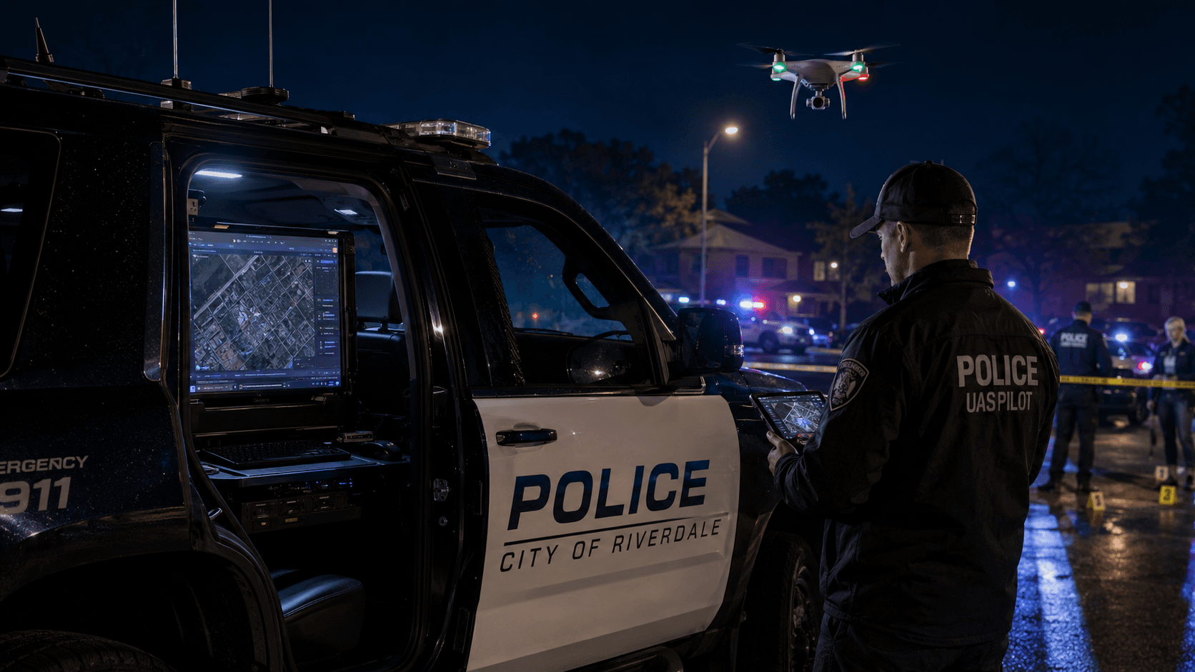
From the patrol car, on shift
Cloud-native, agency-grade
The map lives in the cloud — your evidence stays under your control.
AirMap was designed for departments who can’t afford a $40k workstation in every district, but also can’t afford evidence on someone’s home computer. Cloud processing, agency tenancy, full audit log.
US-hosted cloud processing
Photos process on US-region infrastructure. No workstations to maintain, no GPUs to buy, no overnight batch jobs. We elastically scale up for hurricane season and back down after.
Tenant isolation by default
Every agency is its own walled tenant. Row-level security in the database, signed-link sharing for outside-agency collaboration, and instant revocation when a case closes.
Encryption end-to-end
TLS in transit, AES-256 at rest, signed URLs for every photo and tile. Service-role access is audited and short-lived.
Audit log & chain of custody
Every upload, render, share, and export is logged with user, time, and hash. Defence-attorney-proof timestamps for any map you ever produce.
NDAA & Blue UAS friendly
AirMap is platform-agnostic and works perfectly with NDAA-compliant aircraft (Skydio X10, Parrot ANAFI USA) as well as DJI and Autel where policy permits.
Compliance-ready architecture
We follow CJIS-aligned access controls and are built to support agency-managed identity (SSO, SCIM) for departments that need it. FedRAMP-aligned roadmap.
Part of the NetixOps Public Safety Suite
AirMap is one piece. The whole stack is built for you.
Adopt AirMap alone, or roll it in alongside the rest of the NetixOps Public Safety Suite — built ground-up for agencies, with one tenant, one login, and one source of truth.
Explore the whole suiteIncidents
Live incident pages with maps, members, attachments, and timelines.
Airspace
Live ADS-B + Remote ID monitoring, plus UAS Detection database.
Notify
Mass notification with SMS, voice escalation, and acknowledgements.
Push-to-Talk
Real-time radio over LTE, recorded and incident-scoped.
iOS Field App
Everything your team needs in the field, on a phone.
AirMap
You are hereWhere you are now. Drone-to-map for any agency.
Pick a tier that matches your flight cadence.
Per-tenant tiers, not per-seat. Every responder in the agency sees every finished map — pricing scales with how many maps you actually run, not headcount.
Basic
For small departments getting started
Volume
20 maps / mo
Up to 750 photos / map
- Public share links
- Incident overlays
- Best-practices guide
- Email support
- Most popular
Advanced
Multi-shift agencies running maps weekly
Volume
40 maps / mo
Up to 1,000 photos / map
- Everything in Basic
- Higher-res output (2 cm/px option)
- Multi-flight stitching
- Priority processing queue
- Phone support
Pro
Regional / state agencies + mutual aid
Volume
Unlimited maps / mo
Up to 1,500 photos / map
- Everything in Advanced
- Mutual-aid auto-share
- SLA + named CSM
- Custom retention policies
- On-prem / private cloud option
Your next scene deserves a real map, not a still.
We’ll set up your tenant, walk your team through a first flight, and process your first three maps with you on the call. No contract until you’ve seen the workflow in your own environment.